

Knockanimpaha [Knockanimpuha]
Good walks are even better shared.
Overview
Knockanimpaha [Knockanimpuha]
Nestled in County Donegal, Knockanimpaha stands proudly at an elevation of 602 meters. Although it might not be the highest mountain around, it certainly packs a punch with its stunning views and rich history. Known colloquially as a Hewitt, this hill offers a delightful jaunt for hiking enthusiasts wanting to explore the rural beauty of Ireland.
Geology
This mountain is primarily composed of quartzite and schist, rocks that tell tales of the earth's ancient past. When trekking through the area, you'll encounter interesting geological formations and perhaps even a few boulders that challenge your footwork on a damp day—so bring your best shoes!
Routes
Starting from the coordinates R216336, the most popular route is a direct ascent towards the summit. The climb covers about 6.5 km and takes roughly 2.5 hours to complete, depending on your pace, of course (or how many times you stop to snap photos!). This moderate trek leads hikers through grassy landscapes dotted with rocky outcrops and the occasional bog, so keep your eyes peeled, or you just might find yourself unexpectedly ankle-deep in a muddy surprise!
Summit Features
At the top, a well-built stone cairn welcomes hikers, offering a perfect backdrop for selfies or a scenic group shot. The summit offers panoramic views that sweep across the Bluestack Mountains and down to Lough Eske, a landscape sure to encourage more than a few 'oohs' and 'ahhs'.
Access
Accessing Knockanimpaha is relatively straightforward. Park informally along the R224, but be mindful not to obstruct local access. Public transport is sparse, so bringing your own vehicle is the best plan. Ardara, a charming town about 15 km away, is the closest community where you can find refreshments and restrooms.
Hazards
As any seasoned hiker will tell you, the weather can be as fickle as a cat at bath time. Be prepared for sudden shifts, and ensure you're wearing sturdy footwear—it’s all fun and games until someone loses a shoe in the bog!
Exploring Knockanimpaha is bound to be a rewarding experience, coupled with a good dose of fresh air and stunning views that will linger in your memory long after you’ve left. Whether you're a seasoned hiker or a casual walker, this mountain offers a great escape into the heart of Donegal's natural beauty.
Explore routes near Knockanimpaha [Knockanimpuha]
Public walks starting within 80 km of this hill. Nearby does not mean a route reaches the summit; check its map and access before setting out.
No public routes are currently listed within 80 km of Knockanimpaha [Knockanimpuha] on Walkmates. This does not mean there are no paths here. Explore the map and check local access information before planning a walk.
Route planning notes
These notes describe possible approaches, not verified navigable routes or permission to cross land. Check current paths, local access rules and conditions before setting out.
Starting from R216336
A direct ascent from the nearest road provides a straightforward route, with a gradual incline leading up to the summit.
Make a day of it, together
Find someone to share the walk with, or organise a day out along a route you like.
Photo Gallery
View all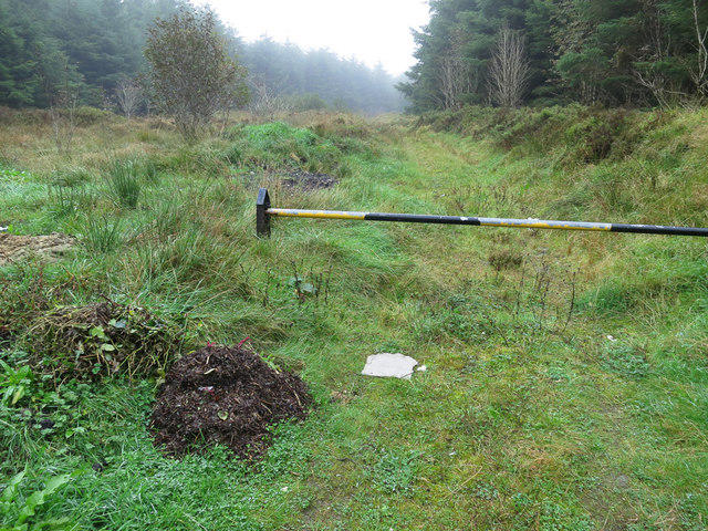 Photo could not load
R2133 : A track in the forestry
Neville Goodman
Hill facts and local notes
Classifications
Elevation
345m
1,132 ft
Prominence
153m
Coordinates
52.4487, -9.1538
R216336
OS Map
64
At the Summit
The summit boasts a stone cairn and an impressive view of the surrounding hills, making it a perfect spot for a well-deserved breather.
Terrain & Geology
Primarily composed of quartzite and schist, which makes for some interesting geology and a few rocky spots that can be tricky during wet conditions.
Views & Scenery
From the summit, one can see the rugged landscapes of the Bluestack Mountains and the shimmering waters of Lough Eske, a sight that can take your breath away (and not just from the elevation either).
History & Heritage
Name Origin
The name 'Knockanimpaha' translates to 'hill of the small river', reflecting the landscape this mountain graces.
Historical Significance
This area has historical significance linked to ancient Irish folklore, with tales of the Tuatha Dé Danann roaming these hills.
Getting There & Facilities
Check current local access restrictions, parking rules and transport timetables before travelling. These notes do not confirm public access to the summit.
Parking
There is informal parking available along the R224 road, but be sure not to block any local driveways.
Public Transport
Limited public transport is available; best accessed by car. The nearest bus terminal is in Donegal Town, around 25 km away.
Nearby Facilities
For facilities, Ardara has several cafes, pubs, and public toilets, ideal for a wee stop before or after your adventure.
Safety Information
Known Hazards
- Be cautious of sudden weather changes, visibility can drop quickly. The terrain can be slippery after rain, and the bogs can surprise even the most seasoned hiker.
General Safety Tips
- Check weather conditions before setting out
- Carry appropriate clothing and equipment
- Let someone know your planned route
- Take a map, compass, and GPS device
- Carry emergency supplies: food, water, first aid kit, torch
Hills
Some common questions about the hills answered
Are there group walks up Knockanimpaha [Knockanimpuha]?
Many walkers use Walkmates to join or organise walks with others. You can check for group walks around Knockanimpaha [Knockanimpuha] through the maps
Are there other walkers around Knockanimpaha [Knockanimpuha]?
Activity varies by location and time, but Walkmates lets you see whether others have shared walks or shown interest in this area. Find other people through the walking friends search walking friends for Knockanimpaha [Knockanimpuha] search or of course create your own walk for Knockanimpaha [Knockanimpuha]
Can I organise a walk to Knockanimpaha [Knockanimpuha]?
Yes. If there aren’t any walks listed already, you can create a walk and make it available for others to join.
If you're signed up to Walkmates, you can create a walk to Knockanimpaha [Knockanimpuha].
How do I find a walk up this hill?
There are often multiple ways to walk this hill, depending on experience and route preference. Walkmates helps you explore walks and routes that others have shared.
Can I suggest a new route up Knockanimpaha [Knockanimpuha]?
Yes. You can suggest or create routes to share with others. Walkmates focuses on the social side of walking, so routes are used to help people organise walks and explore areas together, rather than as detailed navigation tools or route libraries.
Other uses really appreciate knowledgeable walkers sharing their routes. Share your favourite route to Knockanimpaha [Knockanimpuha] here
The is an error or something incorrect about this hill. How do I let you know?
We always strive to keep the information on Walkmates as accurate as possible. If you find an error, please let us know through the contact form and we'll aim to correct it as quickly as possible
Community Discussion
Comments
Location
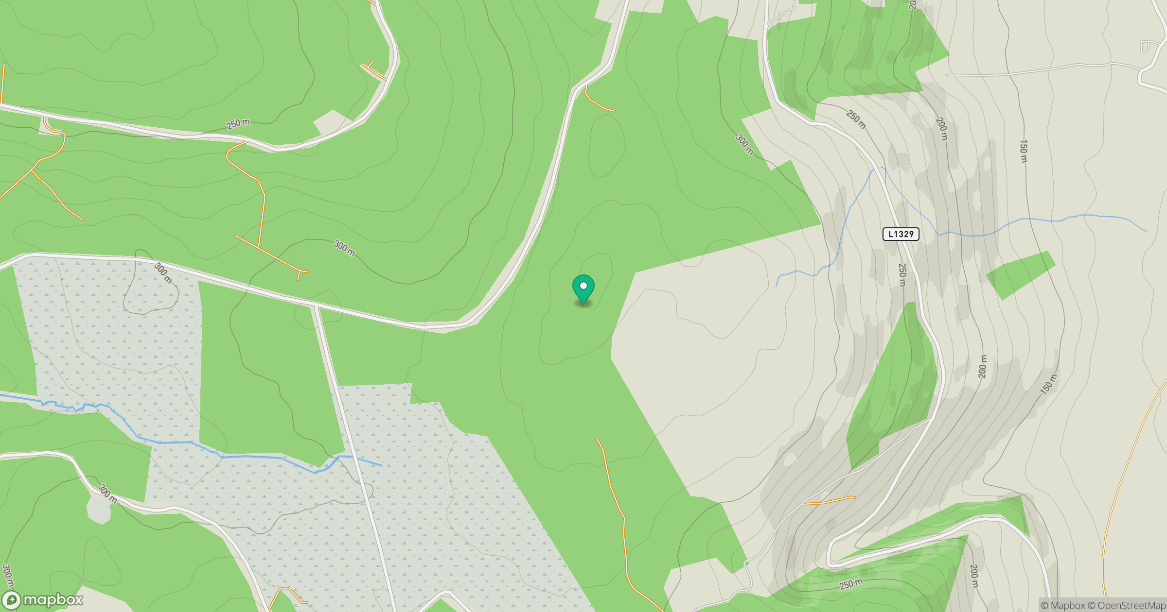
Grid reference: R216336
View on OpenStreetMapOpens a map in a new tab, centred on the hill.
Hills within 30 km
Straight-line distance, not a walking route or confirmation of access.
No comments yet. Be the first.